


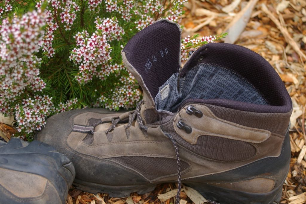
Those of a certain age may remember, Three Men in a Boat, Jerome K Jerome’s book about three toffs boating on the Thames River who finish each day with a three-course dinner, a few ales and a down-filled bed. This is an Australian tale; about two middle-aged blokes, in boots, scrambling up and down the Bibbulmun Track – perhaps for the last time.
My partner-in-boots, Roger the dodger, and I are on a two-and-a-half day hike through pristine bush in the Perth Hills. It’s a test of resolve: of nostalgia and optimism over age and creaking knees. We’re dropped off on a lonely stretch of country road 52km from the Mundaring Weir Hotel, our distant destination and seemingly extended with the weight of 15kg on old shoulders.
The Bibbulmun track celebrated its 10th anniversary in 2008, however the Noongar people have been walking it for tens of thousands of years, but not as some prehistoric freeway. It’s thought the Bibbulmun tribe traversed it for seasonal food and important ceremonies.
This track is a project of the WA Government, managed by Parks and Wildlife Service and supported by a small army of friends, mining and timber companies, outdoor equipment firms, bush walking clubs and even schools. Officially 963km (marketed as 1,000km…nearly) from Kalamunda to Albany via eight country towns, the world-class ‘Bib’ is WA’s best-known long-distance walking track and one of the longest in Australia.
Its popularity with distance hikers has prompted the addition of sturdy three-sided huts, tables, water tanks, toilets and other camping facilities, mainly constructed by prisoners, who not only left a lasting legacy but also attained marketable skills and self-esteem, along the way.
More than 2,000 species of plants grow along the track that slices through Jarrah, Karri and Tingle forests, and windswept coastal heathland. Western Australia’s southwest, which the Bibbulmun highlights, is home to some of the world’s most diverse environments – and also many hotspots of endangered species of fauna and flora.
We meet our first fellow traveller at Brookton campsite finishing his ablutions. He is alone and unhurried. Through a mouthful of toothpaste, he tells us he’s visiting his grandmother at Albany – down the track.
Spirits soar stopping for lunch surrounded by a profusion of chest-high wildflowers. It’s all uphill from here as we skirt Mount Dale, so busy in conversation we miss the turn-off to the next recorded campsite.
Fortunately, it’s not our intended overnight stop, further on. The score in finding campsites is not looking good: found 1; lost 1.
Suddenly there’s a ghostly vision on the track that slowly becomes a woman in a white plastic poncho waiting behind a Flinders Range wattle for her flush-faced husband to catch up. “Men are so weak,” she opines without fear of being challenged.
We meet another couple, then another, both heading south. We seem to be the only ones going north. Most of them are going all the way to Albany. Once upon a time only a handful of hardy souls did the Bibbulmun end to end. Now it is de rigueur. Next, we meet Red Dog and Chunky, optician and dentist, we later discover. They are the first to tell us of Cobber, the wiry 62-year-old Bibbulmun legend.
We shrug off a light drizzle – onward and upward – as I recall the weather forecast: “occasional light showers, becoming heavy by late afternoon”. Our conversation becomes animated as we climb to the top of yet another ridge. A track leads off but there is no familiar Aboriginal Rainbow waugal sign to guide us.
So we pass on, descending steeply to a gravel road strangely similar to the one we crossed earlier. One of us insists we continue. Our overnight campsite must be along this road, just around that corner, I say. It’s not. As the setting sun turns grey into gloom, things look bad. The campsite score is now: found one; lost two.
There’s nothing for it. We have to camp by this desolate road to nowhere. With bivvy tents erected in a freshly dug pine plantation there’s time for one glass of claret with cheese and biscuits before the heavens open. Exhausted from both the 20km-day and the rising anxiety of being lost, we crawl into our tents around 5.30pm, “just to rest a while”, to emerge 12 hours later, very damp.
The morning ground is sodden and my groundsheet supports a small lake but at least it’s not raining. But there are other concerns. We have no idea where the track is and we have almost no water left. Fortunately, with recent rain the Darkin River flows freely, so we replenish.
Within minutes not one but two brand new signs appear at a turn-off on a road thought to be without sign or hope: Nipper Road and Godfrey Road. Godfrey! I remember that from previous pouring over my disintegrating map. Yes, it does cross the Bibbulmun. We’re on track! Thank God for Godfrey!
The relief is palpable. For a short while backpacks are lighter, feet are less flat and taut muscles are freer. Vows are taken to be more vigilant and to stay away from roads – after all, it is called a track. Despite this, a stop to boil the billy, a talkative lapse, and momentarily we miss another guiding waugal sign.
Regrouping, we don’t miss the next campsite – Waalegh – named for the wedged-tail eagle. From a high ridge we look down on tributaries that flow into the Mundaring Reservoir. We cook our lunch and dry our wet sleeping gear. Campsite score: found two; lost two – improving.
The afternoon is testing. Nostalgia and optimism are giving way to age-weariness and dodgy knees. Stopping times become more frequent and longer. However, by 4pm we arrive at Helena, our overnight campsite perched on a rim among tall timbers of jarrah and white gum. Campsite score: found three; lost two – better.
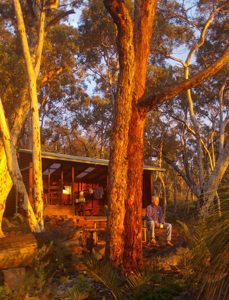
With no rain likely, we choose to pitch our tents rather than stay in the eight-person wooden hut overlooking the steep-sided valley. On completion we’re joined by three more and the hut is now full. John, another end-to-ender and the only south-to-norther we meet, arrives soon after us but he walks in one day what it takes us two – 39km. But the one we all talk about is not here. Cobber – the legend. He has been here; we know that, we’ve seen his standard, cryptic evaluation in registration books: “OK”.
That I have never seen him (what’s that whoosh?) only adds to the mystique. The legendary Cobber not only holds the record for doing the Bib end-to-end in 28 days – he does it in thongs! Some say thongs and socks! The sun sets, the campfire crackles, the remaining claret-in-a-sac is quaffed as stories of a legend are increasingly embellished.
The next day emerges cold but we’re up to it. With only 11km (half a day) left, we can just about taste that first beer at the Mundaring pub.
So, what’s the verdict for Roger and me? A wonderful walk in beautiful bush with spectacular scenery at the best time of the year. And another thing… the dodger and I may be mates but we’re certainly not Cobbers. For us, future bush walks will be with just a day pack, an organised tour, oh, and a guide!
All I can say is, thank God for Godfrey!


